Managing Rangelands From Outer Space
BLM’s Ill-Fated Embrace of Satellite Imagery
 Without any public announcement or external scientific review, the U.S. Bureau of Land Management has introduced satellite imagery as its latest land management tool – with predictably bad results.
BLM is now using “remote sensing” as the principal basis for wholesale renewals of hundreds of commercial livestock stock permits in areas failing the agency’s own standards for minimal landscape health, according to its own on-the ground assessments.
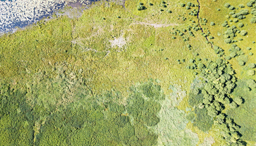
For example, in recent weeks, BLM recommended renewal of 1,372 livestock permits covering more than a million acres of public land in Montana, based upon satellite-generated data. At least 100 permits have been renewed based largely on this data, and we expect many, many more to come.
If this seems sketchy to you, even BLM’s own experts concede that relying on remote sensing is no substitute for field work because, among other things –
-
- Remote systems do not distinguish well between native grasses and exotic plants, treating increased vegetative cover as a sign of landscape health when it may be just the opposite;
- These systems oversimplify ecological changes, such as the inability to distinguish between riparian damage caused by livestock versus weather-induced erosion; and
- The assumptions programmed into the algorithms and modeling have no transparency whatsoever, meaning that techniques used can result in a systematic failure to recognize deteriorating conditions.
For satellite imagery to be suitable for the purpose of management, the data must be able to discern livestock impacts. It must be sensitive enough to detect both degradation and recovery, and discriminate vegetation cover with respect to departure form reference conditions. In short, the use of satellite imagery may be a useful to assess large ecoregions but the program that BLM is currently using, RAP (Rangeland Analysis Platform) does not provide the granular data that is necessary to see impacts at the allotment level. It does not match good old-fashioned field work, that is, assessing landscape health by looking at it on the ground.
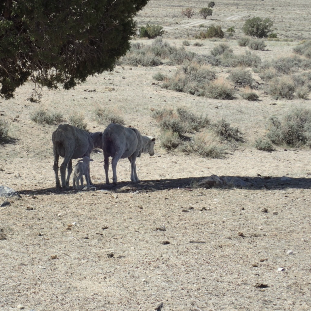 More significantly, relying upon data from outer space masks the devastating impacts of decades of BLM land mismanagement. The rosy picture painted with satellite data sharply contrasts with BLM’s own on-the-ground readings. BLM’s own field data shows that more than 50 percent of allotment acres assessed fail land health standards with livestock overgrazing identified as a significant cause.
This means an area of 54 million acres, roughly the size of Wisconsin, does not meet minimum standards for water, soil, and native flora, as well as quality, wildlife habitat, yet the permits many of these allotments – are regularly renewed for another decade with no pre-conditions and no public comment.
These developments are taking place against the backdrop of a BLM proposal to assess conservation values on all lands, a new approach requiring a much more sophisticated and nuanced approach to land management.
This latest exercise only reinforces the inescapable conclusion that BLM remains a deeply dysfunctional agency. It has yet to exhibit any of the “wise decision making” to which it claims to aspire. In short, BLM is an outfit that would only abuse any more discretion.
Moreover, a new conservation rule buttressed by blizzards of satellite data will not excuse BLM from the need to make the serious commitment to fieldwork and empower its range management staff to start actively addressing vast areas that are failing to meet the bare minimum standards for basic landscape functionality.
Perhaps it is appropriate for BLM to embrace satellites if it continues to manage America’s rangelands to increasingly resemble overgrazed moonscapes.
 Chandra Rosenthal is the Director of PEER’s Rocky Mountain Office located in Denver, Colorado.